Lower GSD
More detail
Better detail usually means lower altitude, smaller footprint, and more images.
Adjusting height directly impacts GSD. Lower AGL yields sharper images but increases flight time.
Ground overlap: 94.9 m
Ground overlap: 101.4 m
Value is the ground distance that overlaps between adjacent photos or flight lines at the current altitude and camera setup.
Dw
Footprint Width
168.9m
DH
Footprint Height
126.6m
Outward buffer from survey boundary.
or drag and drop
Supports KML, KMZ, GeoJSON.
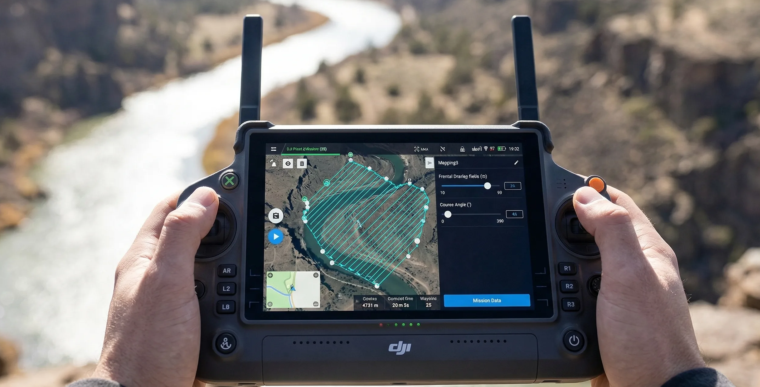
Showing synthetic route from manual survey area.
Metrics are derived from a generated route over the estimated rectangular mission shape.
Route: 8.40 km, 9 strips
Showing 9 of 9 strips and 100 of 261 photo points.
Total Photos
261
Estimated Survey Time
14m 0s
Coverage Rate
214.24 ha/hr
Base survey area per estimated survey hour.
Storage Required
2 GB 292 MB
RGB JPEG
Get the industry-standard 256GB MicroSD for this mission →Storage estimates are provided for planning purposes only and may vary based on mission settings, camera behavior, compression, environmental conditions, and other operational factors.
Drone GSD helps operators estimate ground sampling distance, mission overlap, coverage, photo count, flight time, and storage before flying so they can balance image detail, coverage area, and field efficiency.
Lower GSD usually means more detail, but it also tends to mean lower altitude, more photos, and longer missions.
Lower GSD
Better detail usually means lower altitude, smaller footprint, and more images.
Higher overlap
More shared coverage helps orthomosaics and 3D processing stay reliable.
Best use cases
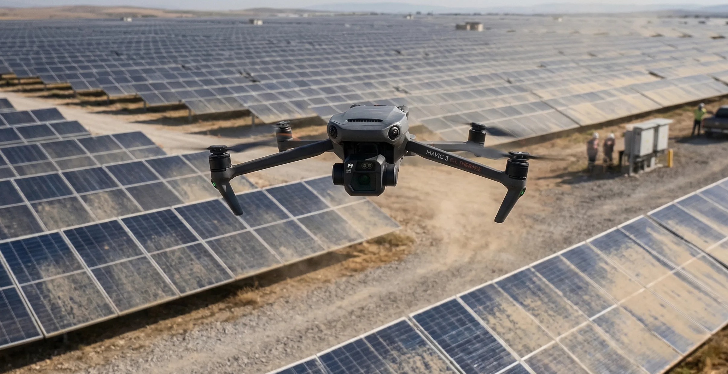
Useful for photogrammetry, orthomosaics, surveys, inspection, and thermal planning.
Resolution
Estimate how altitude, camera specs, and target resolution affect mapping detail before you launch.
Coverage
Adjust overlap, route heading, and geometry margins to preview how the mission will behave on site.
Output
Understand photo count, flight time, and storage needs before you commit aircraft time or crew time.
Field-Tested Hardware
These links are optional gear shortcuts for common mapping workflows. As an Amazon Associate I earn from qualifying purchases.
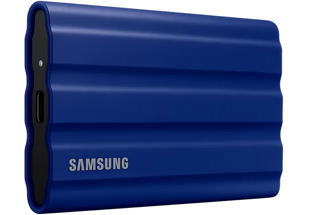
Field Storage
IP65 water and dust resistant. Offload massive multispectral and RGB datasets instantly in the field without mechanical drive failure.
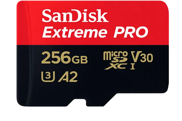
Flight Memory
The enterprise standard MicroSD. Sustains 140MB/s write speeds to completely eliminate dropped frames during 0.7s interval grid mapping.
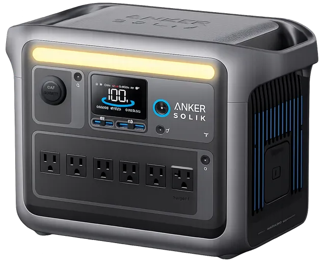
Continuous Field Power
1056Wh LiFePO4 chemistry built for the survey truck. Run a continuous charging loop for DJI enterprise batteries and eliminate the need for $1,500 in spare packs.
Move from the live calculator into the supporting guide cluster when you need deeper context around GSD targets, overlap choices, mission planning, storage estimation, or payload trade-offs.
Core Concepts
Ground sample distance sets the real resolution ceiling for drone mapping. Learn how to calculate it, where low-altitude planning backfires, and how to choose a target that matches the deliverable instead of chasing the smallest possible number.
Overlap & Coverage
Front overlap and side overlap solve different reconstruction problems. Learn how each one affects alignment stability, strip count, storage growth, and failure risk over low-texture, reflective, or moving surfaces.
Mission Planning
Plan a mapping mission from the deliverable backward. This guide covers deliverable-first thinking, route geometry, margins, heading choices, corridor examples, and the preflight checks that keep the job physically executable.
It depends on the job, but mapping and surveying missions often target a lower GSD to capture more detail. The right value depends on deliverable quality, flight height limits, camera resolution, and how much area must be covered.
As flight height increases, each pixel covers more ground and the GSD gets larger. That means lower detail. Flying lower generally improves detail but reduces footprint size and can increase mission time.
Higher overlap gives photogrammetry software more shared visual information between images. That usually improves reconstruction reliability, but it also increases photo count, flight time, and storage needs.
Yes. The calculator is useful for thermal, RGB, and multispectral mission planning as long as the camera profile and mission settings reflect the actual sensor and capture goal.
Yes. You can estimate coverage, route layout, photo count, flight time, and storage, and you can also work with uploaded geometry when defining a mission boundary.