Core Concepts
What Is GSD In Drone Mapping?
Ground sample distance sets the real resolution ceiling for drone mapping. Learn how to calculate it, where low-altitude planning backfires, and how to choose a target that matches the deliverable instead of chasing the smallest possible number.
Key Takeaways
- GSD is the ground size represented by one image pixel, so it defines the maximum detail your outputs can genuinely contain.
- Lowering altitude for a smaller GSD often multiplies strip count, capture load, storage, and motion-blur risk faster than operators expect.
- The right target is tied to the deliverable: engineering inspection, stockpile measurement, orthomosaic interpretation, and general progress mapping do not need the same tolerance.
What GSD Actually Limits
Ground sample distance is the physical ground distance represented by one image pixel. If a mission is planned at 2 cm/px, every pixel in the raw image corresponds to roughly a two-centimeter square on the site.
That number matters because it is a hard ceiling, not a marketing label. Orthomosaics, dense point clouds, and surface models cannot reliably contain detail that the sensor never captured in the first place.
This is why experienced operators treat GSD as an engineering tolerance. It should be set from the smallest feature the deliverable needs to support, not from a vague preference for maximum sharpness.
Ground Sample Distance Calculations
GSD is not guesswork. It comes directly from flight height, sensor pixel pitch, and focal length. Once those values are fixed, the achievable ground detail is fixed as well.
GSD = (H x p) / f
- H is the flight height above ground.
- p is the physical pixel pitch of the sensor.
- f is the focal length of the lens.
To reduce GSD, you either fly lower, increase focal length, or use a sensor with smaller pixels. Every one of those choices carries a mission cost, so the calculation should always be paired with an operational reality check rather than treated in isolation.
Why "Sub-Centimeter" Targets Backfire
One of the most common mistakes in entry-level mission planning is chasing the smallest GSD the aircraft can technically fly. A lower altitude shrinks the ground footprint, which means more strips, more turns, more shutter events, and much more data.
The result can be a mission that looks impressive in the planner but is expensive, slow, and fragile in the field. A stockpile survey that could have been captured in one battery set suddenly becomes a multi-battery acquisition with a much larger processing burden and no meaningful improvement in the deliverable.
Motion blur is another trap. At 10 m/s and 1/1000 s, the aircraft moves one centimeter during the exposure. At 2.0 cm/px that movement is still largely contained inside a pixel, but at 0.5 cm/px the same motion is spread over multiple pixels and the theoretical resolution gain is partly destroyed.
- Smaller GSD increases strip count and trigger count at the same time.
- Very low altitude makes shutter timing, lighting, and storage write speed less forgiving.
- A slightly larger GSD often yields a better overall project if it keeps the mission stable and repeatable.
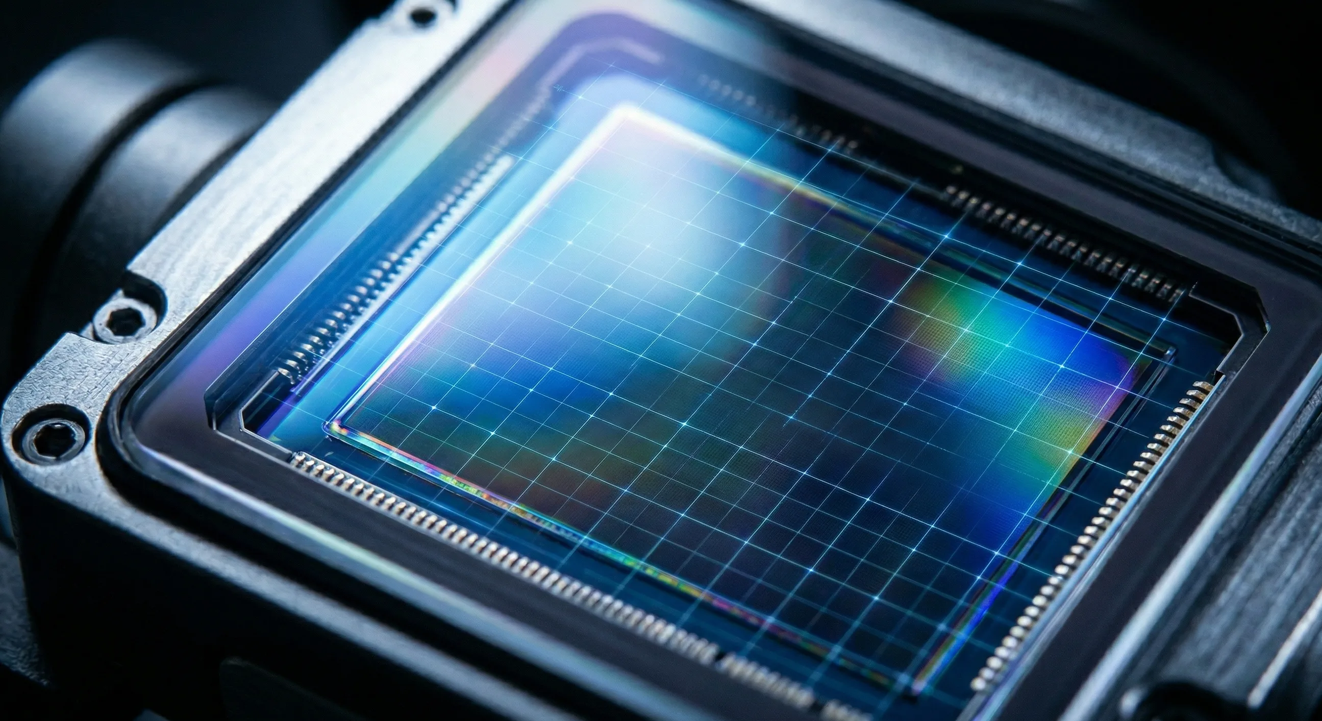
Sensor Mechanics And Capture Discipline
The camera body still matters after the math is done. Rolling-shutter sensors scan the image row by row, so low-altitude and high-speed missions are more exposed to geometric distortion. Mechanical shutters remove much of that risk, which is why they remain common on serious mapping payloads.
Extremely small pixels create another limit: they collect less light. In weak conditions that means more noise, higher ISO pressure, or slower shutters, all of which can erase the benefit of chasing an aggressive GSD target.
- Use storage media fast enough to sustain short capture intervals without dropping frames.
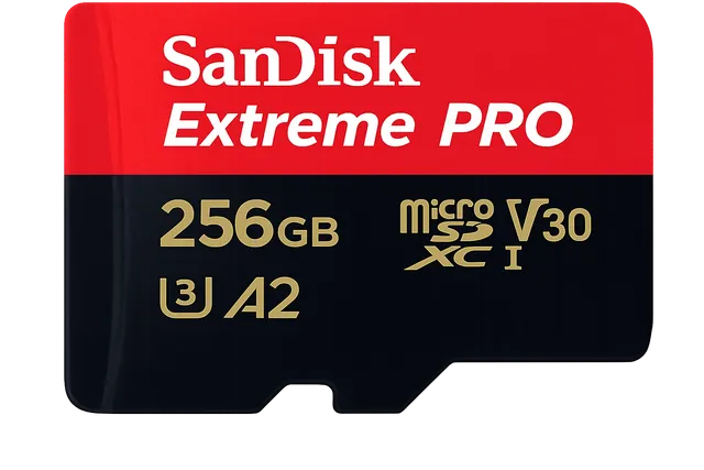
Flight Memory
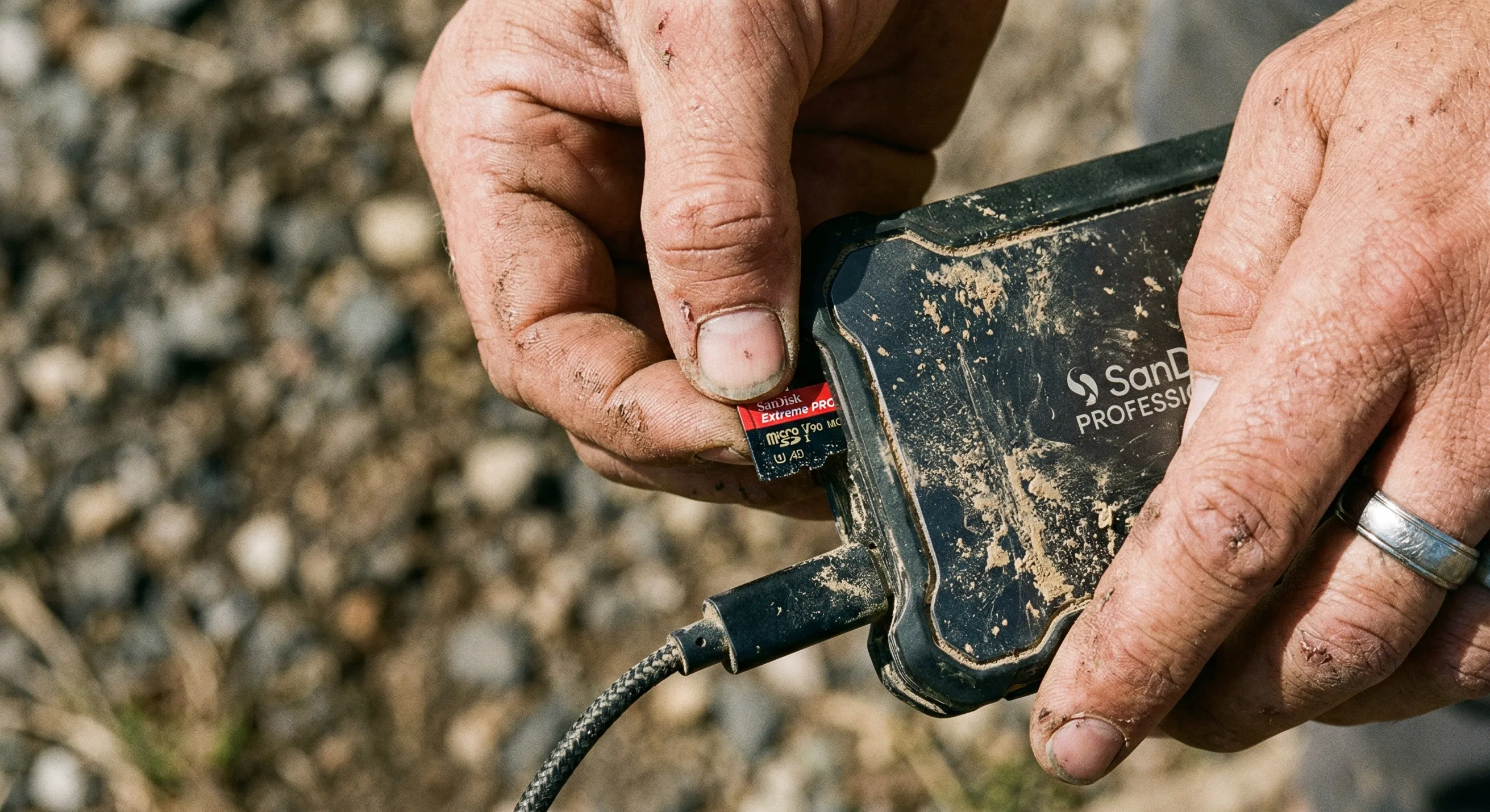
SanDisk Extreme PRO 256GB
The enterprise standard MicroSD. Sustains 140MB/s write speeds to completely eliminate dropped frames during 0.7s interval grid mapping.
- Do not assume a consumer tablet or controller will stay readable at full brightness in direct sun.
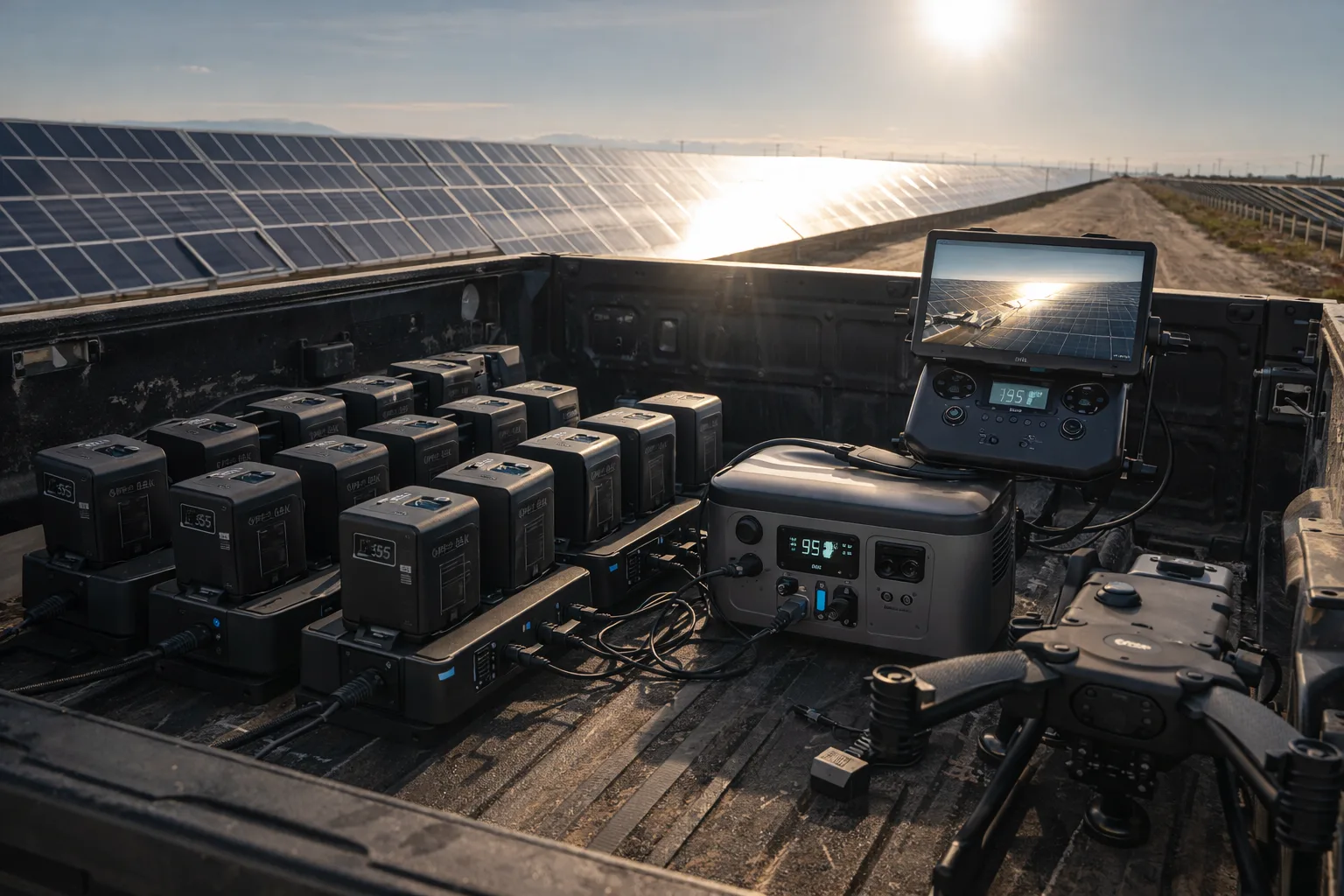
- Plan for dual on-site copies before leaving the field, because dense mapping sets become expensive to re-fly.
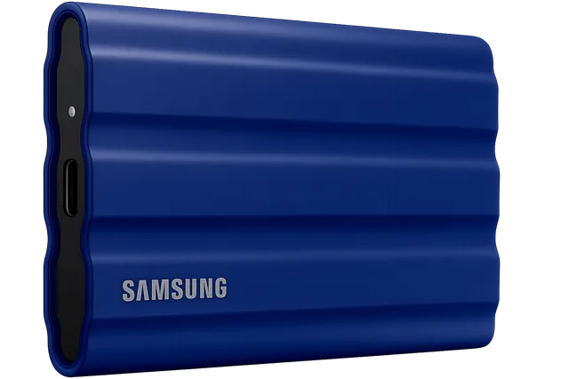
Field Storage
Samsung T7 Shield (2TB)
IP65 water and dust resistant. Offload massive multispectral and RGB datasets instantly in the field without mechanical drive failure.
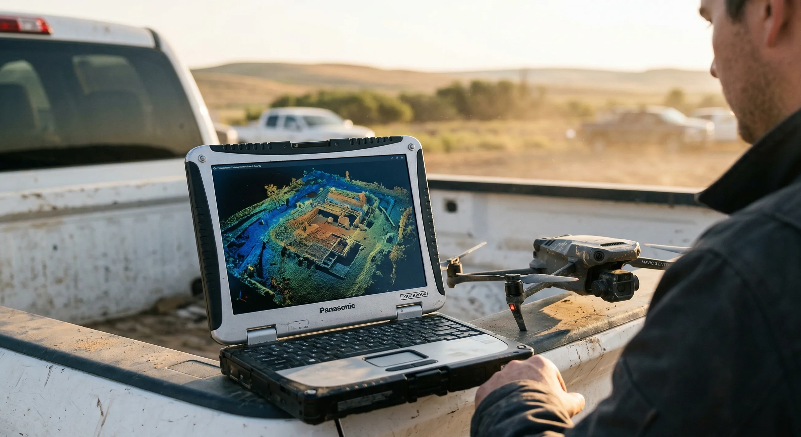
Scenario: Volume Measurement Of A Stockpile Yard
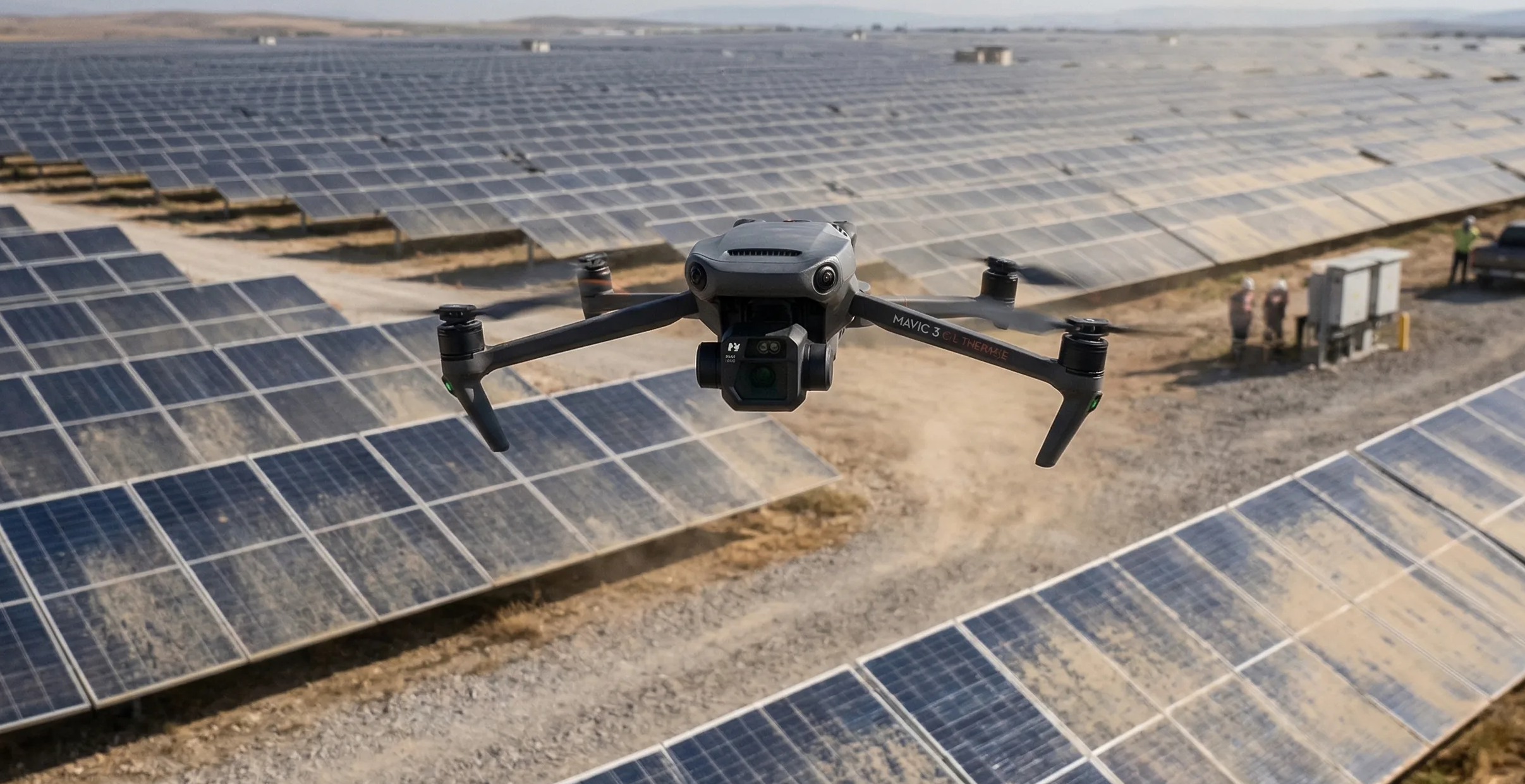
Consider a 50-acre gravel and aggregate stockpile yard captured with a DJI Mavic 3 Enterprise and its mechanical-shutter camera. A beginner might aim for 1.0 cm/px simply because it sounds more precise.
That choice drives the aircraft down to roughly 37 meters AGL, pushes the mission above 1,500 images, and turns a straightforward survey into a multi-battery operation with a dense, slow-to-process dataset.
An experienced operator starts from the measurement requirement instead. If the client only needs site progress or bulk volumetrics, a 3.0 cm/px target can still capture the relevant geometry. The same yard can then be covered from roughly 110 meters with fewer than 200 images and a dramatic reduction in field overhead.
The deliverable did not change. The planning tolerance did. That is the difference between using GSD as an engineering tool and using it as a vanity setting.
Operational Checklist: Calculating A Target GSD
Before approving a mission, walk through the tolerance first and the aircraft settings second.
- Define the smallest feature the client actually needs to identify or measure in the final output.
- Calculate the base height from your chosen camera, focal length, and target GSD instead of estimating by feel.
- Check whether shutter speed, lighting, and aircraft speed can support that target without blur or noise penalties.
- Stress-test the resulting photo count, battery demand, and storage load before the mission is accepted.
- Relax the target when the smaller GSD adds cost but does not improve the deliverable in a meaningful way.
The goal is not to fly the smallest number your software can display. The goal is to fly the requirement and deliver the requirement with the least avoidable mission risk.
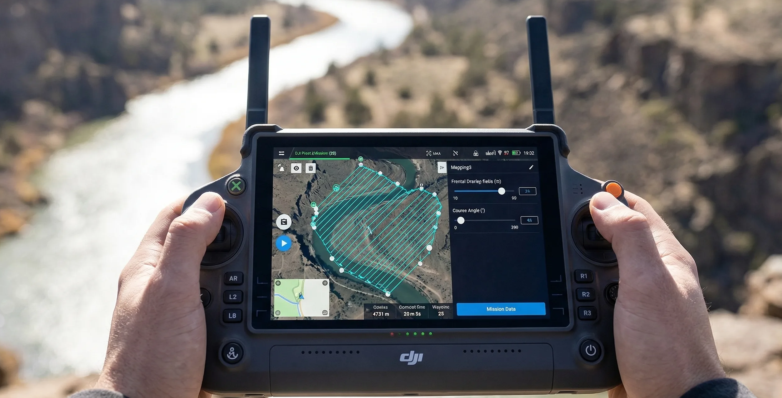
Use the calculator with this guide
After reading the trade-offs, compare them inside the live calculator so you can see how altitude, overlap, route heading, and camera choice affect the plan on an actual mission footprint.
Related guides
Overlap & Coverage
Front Overlap Vs Side Overlap
Front overlap and side overlap solve different reconstruction problems. Learn how each one affects alignment stability, strip count, storage growth, and failure risk over low-texture, reflective, or moving surfaces.
Mission Planning
How To Plan A Photogrammetry Mission
Plan a mapping mission from the deliverable backward. This guide covers deliverable-first thinking, route geometry, margins, heading choices, corridor examples, and the preflight checks that keep the job physically executable.
Operations & Storage
How To Estimate Flight Time And Storage
Flight time and storage are mission constraints, not afterthoughts. Learn how tighter GSD, stronger overlap, and payload choice compound into more strips, more batteries, and larger backup requirements.