Operations & Storage
How To Estimate Flight Time And Storage
Flight time and storage are mission constraints, not afterthoughts. Learn how tighter GSD, stronger overlap, and payload choice compound into more strips, more batteries, and larger backup requirements.
Key Takeaways
- Lower altitude and stronger overlap can multiply mission effort nonlinearly because footprint area and trigger spacing shrink together.
- Storage planning must be tied to the payload profile, not just the number of images, because RGB JPEG, RAW, thermal, and multispectral data behave very differently.
- Estimates are decision tools: if the route becomes too heavy, the right response is to change the plan early rather than document an impractical mission accurately.
Why Mission Effort Compounds
Flight time and storage should shape the mission from the start. They are not secondary bookkeeping outputs that you glance at after the route has already been fixed.
Lowering altitude to tighten GSD shrinks the sensor footprint on the ground. Raising overlap shrinks the spacing between captures and strips. When those two effects happen together, the mission can jump from manageable to operationally awkward very quickly.
Data Collection Mission Scaling
Mission planners often expect effort to scale linearly, but the geometry says otherwise. Halving the flight height to double spatial resolution can reduce the footprint area dramatically, which means more strips to cover the same site before overlap is even considered.
Add higher front and side overlap on top of that and the route can balloon. A plan that once needed 15 minutes and a few hundred frames can become a 90-minute operation with thousands of images simply because two planning sliders moved in the wrong direction for the job.
Payload Architecture And Storage Overhead
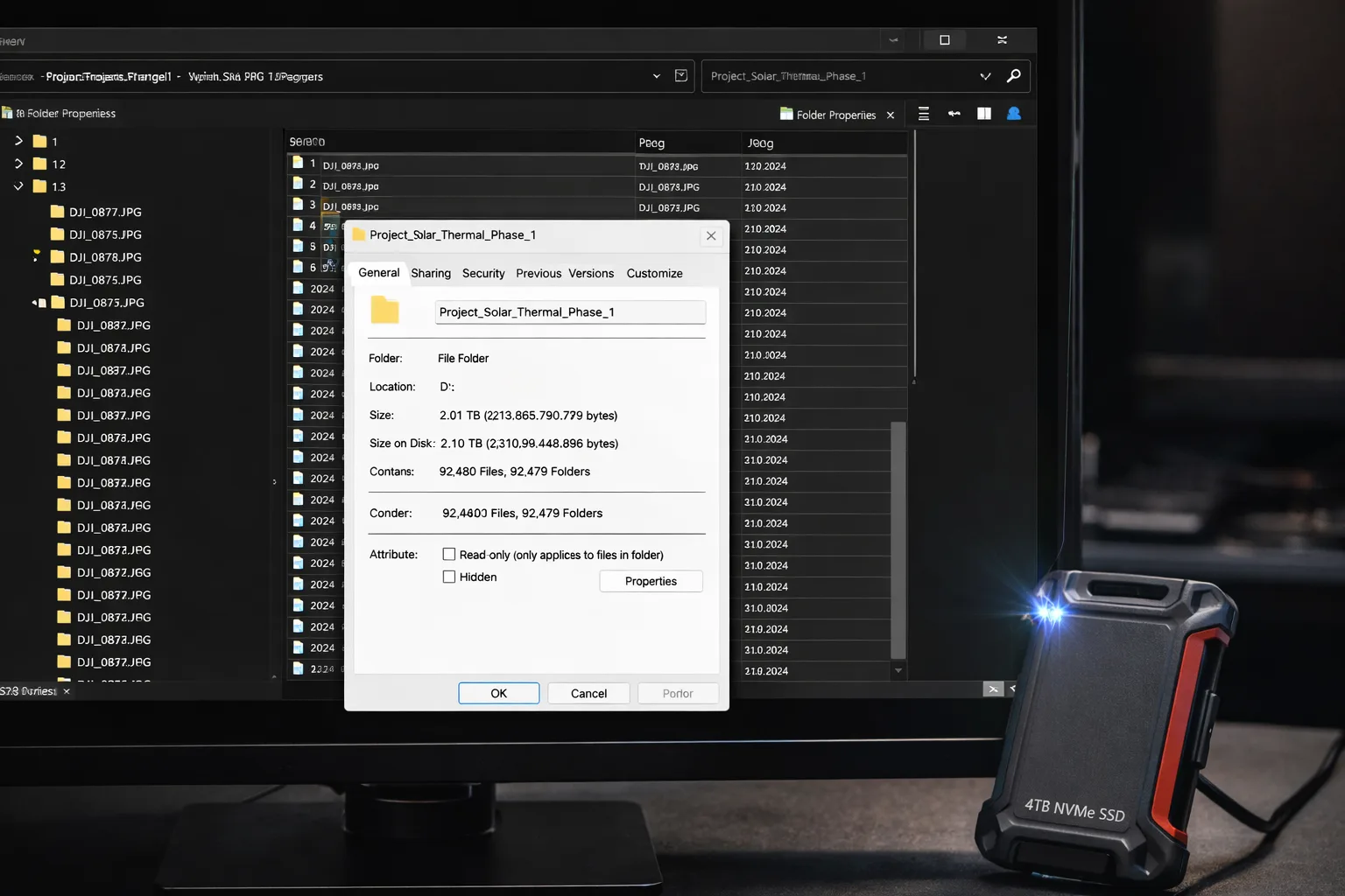
Storage cannot be modeled from photo count alone. The payload architecture determines how much data each trigger produces, and the gap between payload types is often huge.
- A standard 20 MP RGB JPEG workflow may produce frames around 6-12 MB each.
- The same camera in RAW mode can jump into the 40-50 MB range when the image signal processor is bypassed.
- Multispectral payloads may record several TIFF files per trigger because each band is captured separately.
That is why storage estimates should be treated as planning numbers with headroom, not as theoretical minimums. Reflies, wind drift, or strip-level quality problems can demand additional captures while you are still on site.
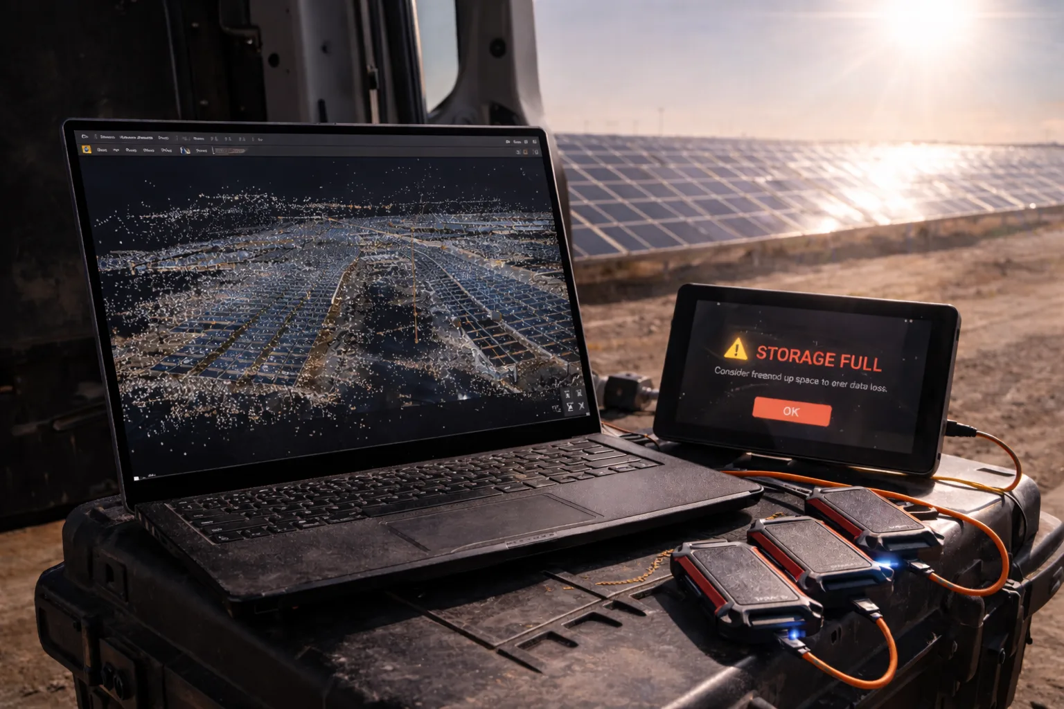
Processing overhead is separate again. Dense point clouds, temporary depth maps, and derived surfaces can consume far more space than the raw image folder that left the aircraft.
Use Estimates To Decide, Not Just To Record
Estimates are not there to document an already-final mission. Their purpose is to tell you whether the route should change before aircraft, crew time, and weather windows are consumed.
Compare multiple scenarios instead of accepting the first software output. The best plan is usually the one that meets the deliverable while preserving battery reserve, avoiding storage choke points, and reducing unnecessary strip density.
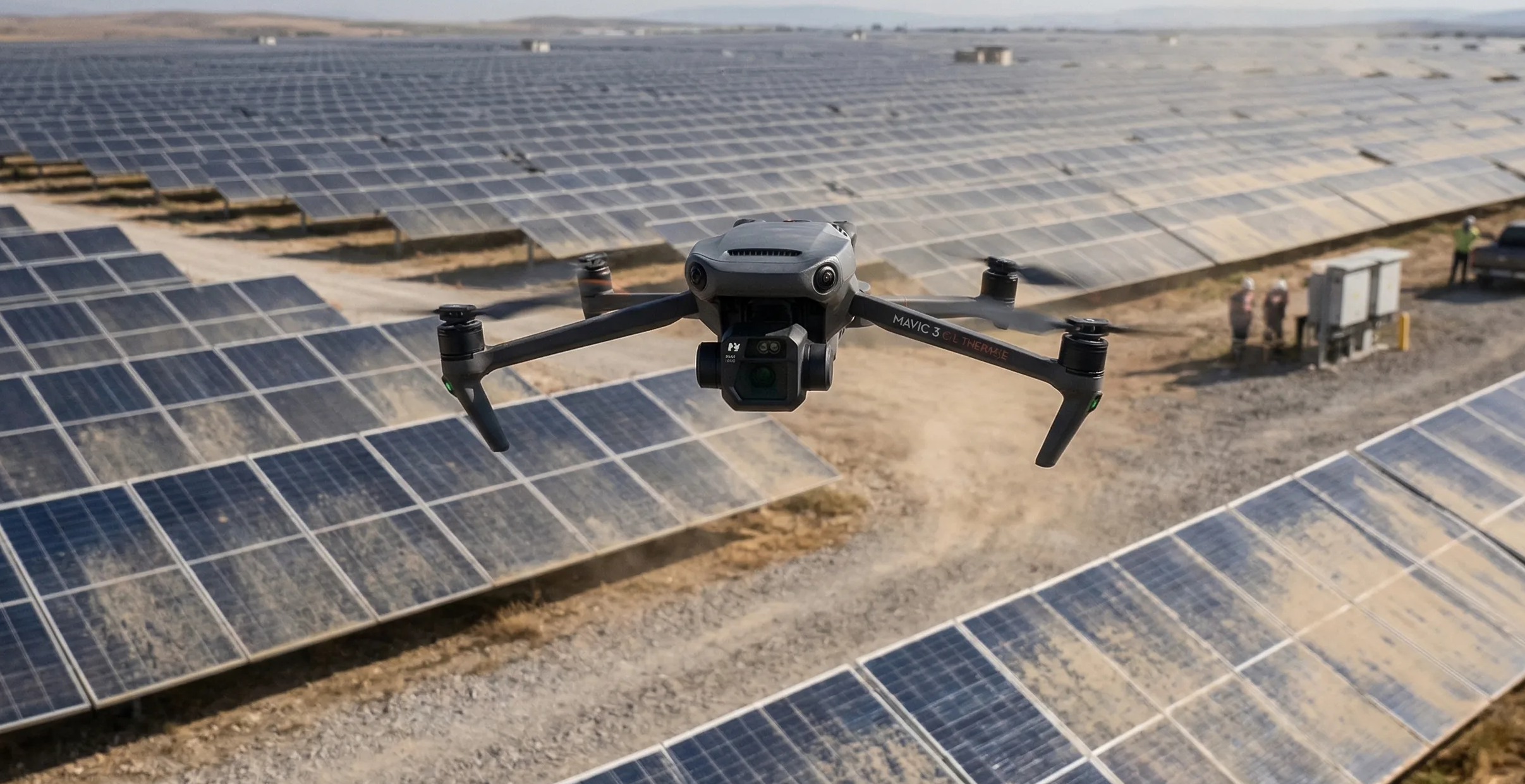
Practical Example: Inspecting A 2,000-Acre Utility Solar Facility
Consider a dual-payload RGB and thermal inspection over a 2,000-acre solar facility using a Matrice 350 RTK-class platform. A weak plan tries to capture maximum detail everywhere at low altitude with 80/80 overlap.
That version of the mission can explode into tens of thousands of frames, dozens of battery cycles, and terabytes of data while the thermal portion steadily loses value as the sun angle drifts during the day.
A better plan starts with the inspection objective, increases altitude where the thermal payload still resolves the target fault, aligns strips with the array geometry, and reduces side overlap where the surface is repetitive but manageable. The mission becomes shorter, cheaper to back up, and more likely to finish inside a usable lighting window.
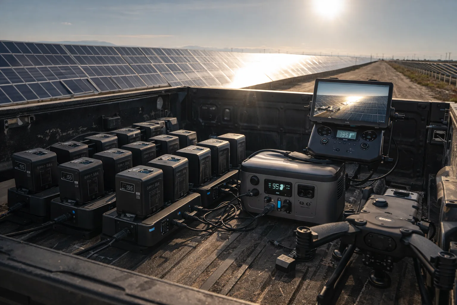
Hardware Requirements For Data Sovereignty
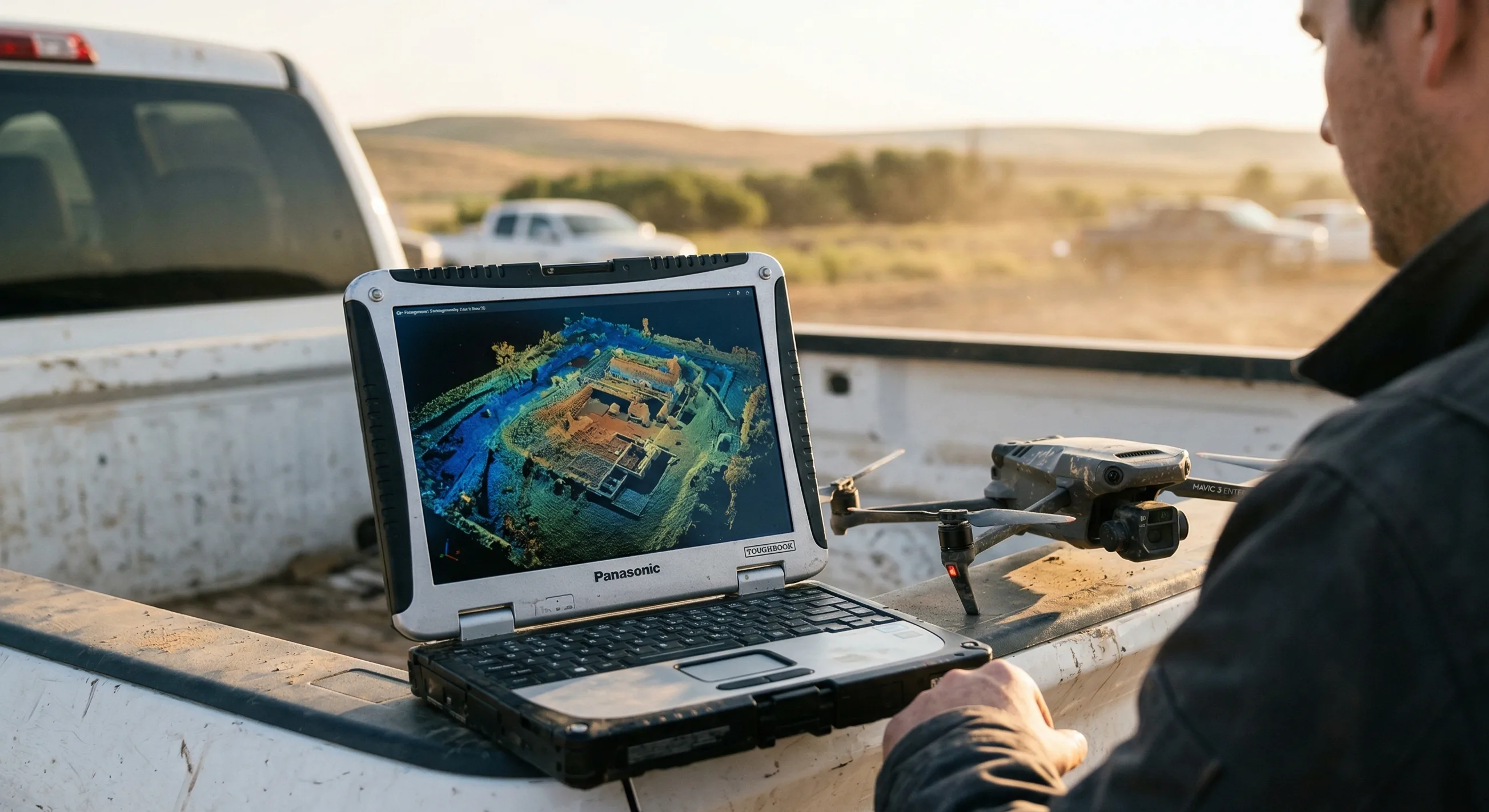
Heavy missions fail when the supporting hardware is under-specified. A solid route estimate should therefore include the capture media, field backup speed, and operator display environment needed to execute the plan without data loss.
- Capture storage must sustain the write rate implied by the trigger interval or frames will be dropped.
- Field backup media should be fast and rugged enough to create two copies before batteries and daylight run out.

Field Storage
Samsung T7 Shield (2TB)
IP65 water and dust resistant. Offload massive multispectral and RGB datasets instantly in the field without mechanical drive failure.
- Telemetry and storage status need to remain readable in bright daylight so crews can react before a battery or data limit is crossed.
- Wind and environmental conditions should be confirmed with real measurements before launch so the route geometry is not undermined by crab or drift.
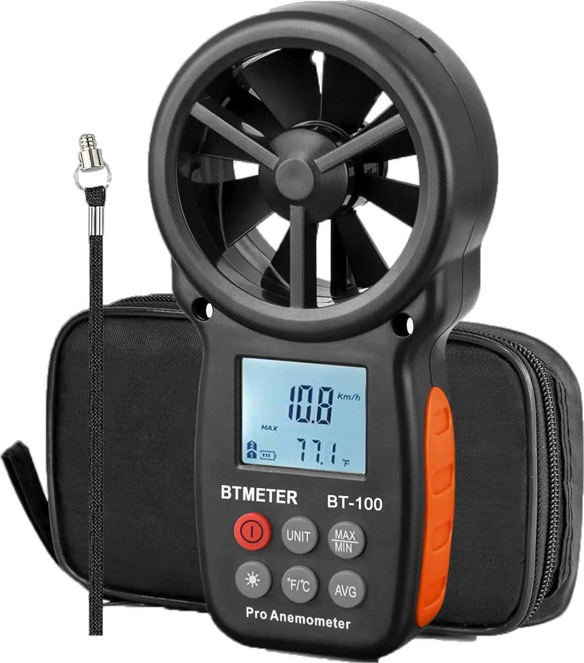
Wind Meter
BTMETER BT-100 Handheld Anemometer
Wind meters are cheaper than reshoots. Stop guessing crosswinds and log the quantitative data before you launch.
Protocol: Estimation And Allocation Procedure
- Determine the per-trigger data rate for the exact payload and capture mode you intend to fly.
- Compute the base route from target GSD, overlap, and heading so you know the expected photo count and flight duration.
- Multiply the total captures by the payload data rate and add safety headroom for refly, margin overshoot, and on-site retries.
- Translate total duration into realistic battery cycles using conservative endurance rather than marketing hover time.
- If the result is too heavy, change altitude, overlap, heading, or payload strategy before the mission is accepted.
- Arrive with enough fast field storage to create two copies of the data before leaving the site.
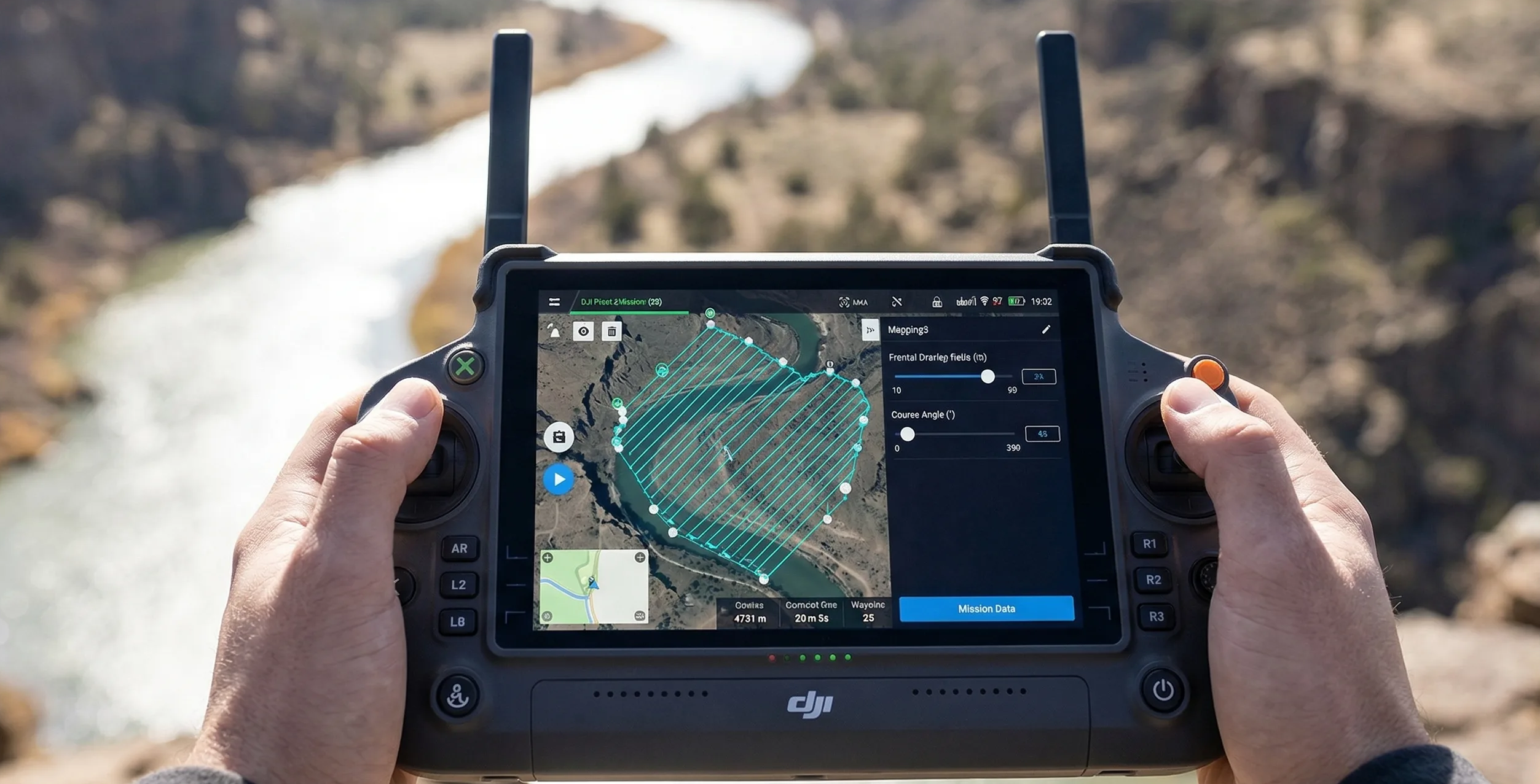
Use the calculator with this guide
After reading the trade-offs, compare them inside the live calculator so you can see how altitude, overlap, route heading, and camera choice affect the plan on an actual mission footprint.
Related guides
Core Concepts
What Is GSD In Drone Mapping?
Ground sample distance sets the real resolution ceiling for drone mapping. Learn how to calculate it, where low-altitude planning backfires, and how to choose a target that matches the deliverable instead of chasing the smallest possible number.
Overlap & Coverage
Front Overlap Vs Side Overlap
Front overlap and side overlap solve different reconstruction problems. Learn how each one affects alignment stability, strip count, storage growth, and failure risk over low-texture, reflective, or moving surfaces.
Mission Planning
How To Plan A Photogrammetry Mission
Plan a mapping mission from the deliverable backward. This guide covers deliverable-first thinking, route geometry, margins, heading choices, corridor examples, and the preflight checks that keep the job physically executable.